Unmanned Aircraft System (UAS)
Here is a map to find safe flight locations for drones, model airplanes
and other unmanned aerial vehicles (UAVs) in Austria:
Model Flying Fields in Austria
This map loads the data from the following GeoJSON files:
The DJI FPV drone records SRT files to track GPS coordinates and other
information during a flight.
This Python script reads the recorded SRT file and calculates height,
vertical speed, horizontal speed and direction. The output is written as
a subtitle file (WebVTT, SRT) that can be used as an overlay for videos:

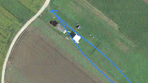
This Python script reads the SRT file and writes the recorded flight track
as GeoJSON LineString that can be used as an overlay for maps:

The Tello drone provides an API to control the drone, to receive the stream
from the camera, and to receive status information.
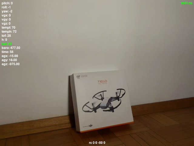
This Python script shows the video stream of the drone's camera on screen
and allows you to control the drone via keyboard and/or gamepad:
